By Tony Thatcher on May 12, 2011 in cartography
0
0
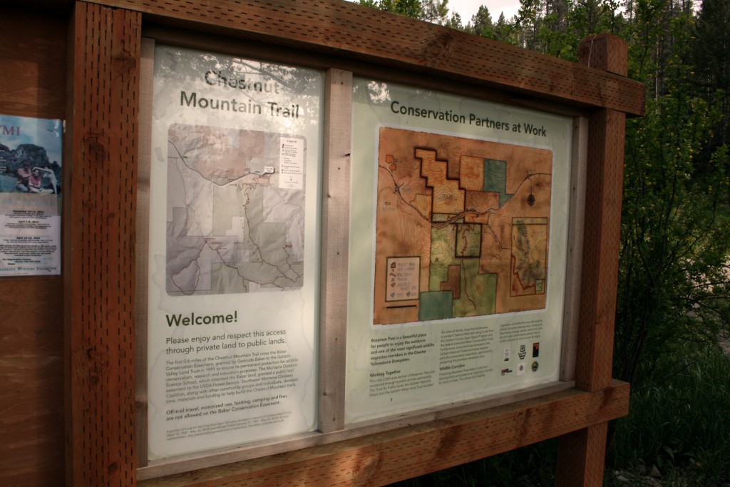
Bryan worked with the Gallatin Valley Land Trust and the Trust for Public Land to develop a map for the new Chestnut Mountain Trail east of Bozeman. The map extends south and west to the New World Gulch area, as well as east to the Goose Creek drainage. Dark red trails, muted land ownership polygons, and a grayscale hillshade with minimal use of contours makes the map easier to read when standing at the trailhead. Enjoy the new trail!