By Tony Thatcher on May 10, 2012 in cartography
0
0
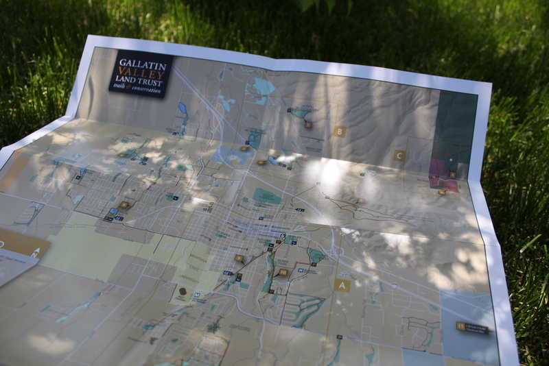
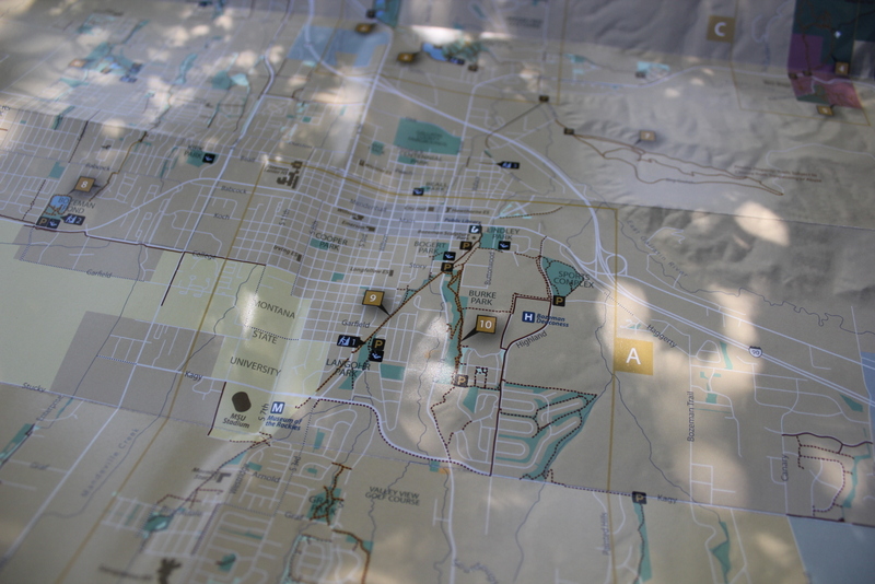
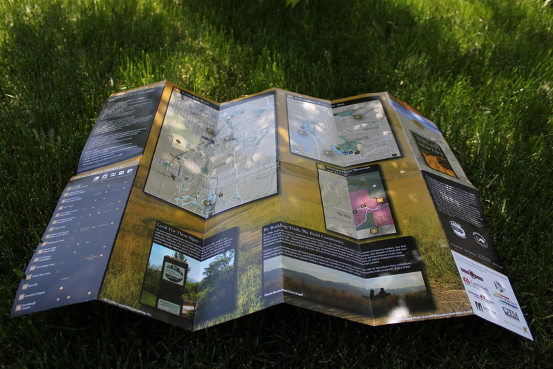
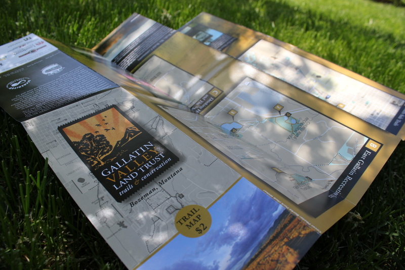
The new Gallatin Valley Parks and Trails Map is hot off the press and in stores around Bozeman. Bryan worked with GVLT over the winter to develop the latest version of the map. While the core data sets were initially edited within ArcMap, this sort of ‘for-the-press’ map production is best done outside the GIS environment. We used Adobe Illustrator and Photoshop to stylize the maps and add associated text and graphics. The final product is 18 by 24 inches and is printed on heavy paper. Several local businesses chipped in to help fund the effort, so be sure to support them when you get the chance!