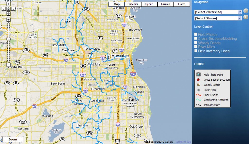
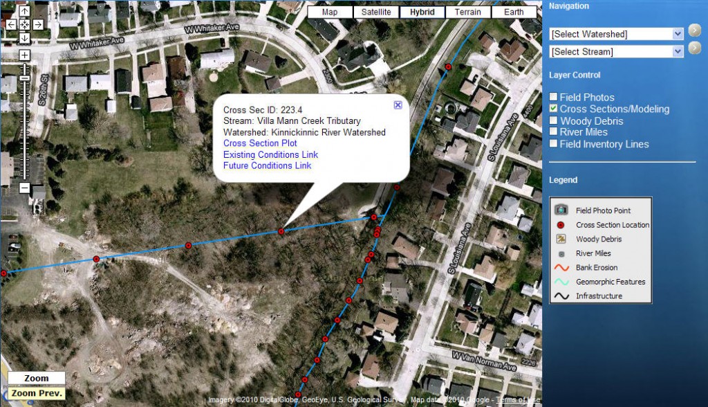
Between 2001 and 2010 DTM teamed with project partners to develop Sediment Transport Studies for several basins in the Menomonee River Watershed. The intent of each project was to provide planning tools for flood management, stabilization, and rehabilitation activities within the Menomonee Basin. DTM’s role was to develop effective field data collection techniques and incorporate all spatial data into a customized GIS application. This application is being used as a planning tool for district water managers. Information incorporated into this GIS included geomorphic parameters and channel geometry, categorization of channel reaches, assessment of existing infrastructure (walls, bridges, weirs), sediment composition and grain size analysis, sediment transport analysis, evaluation of geomorphic trends, roads, structures, and over 1100 digital photographs with their associated photo points. This information was blended into a custom web-based user interface with customized tools empowering district mangers to quickly visualize any selected portion of the watershed and determine courses of action pertaining to river modification projects.