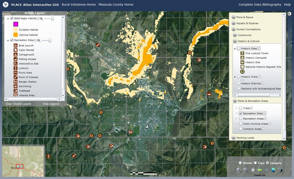
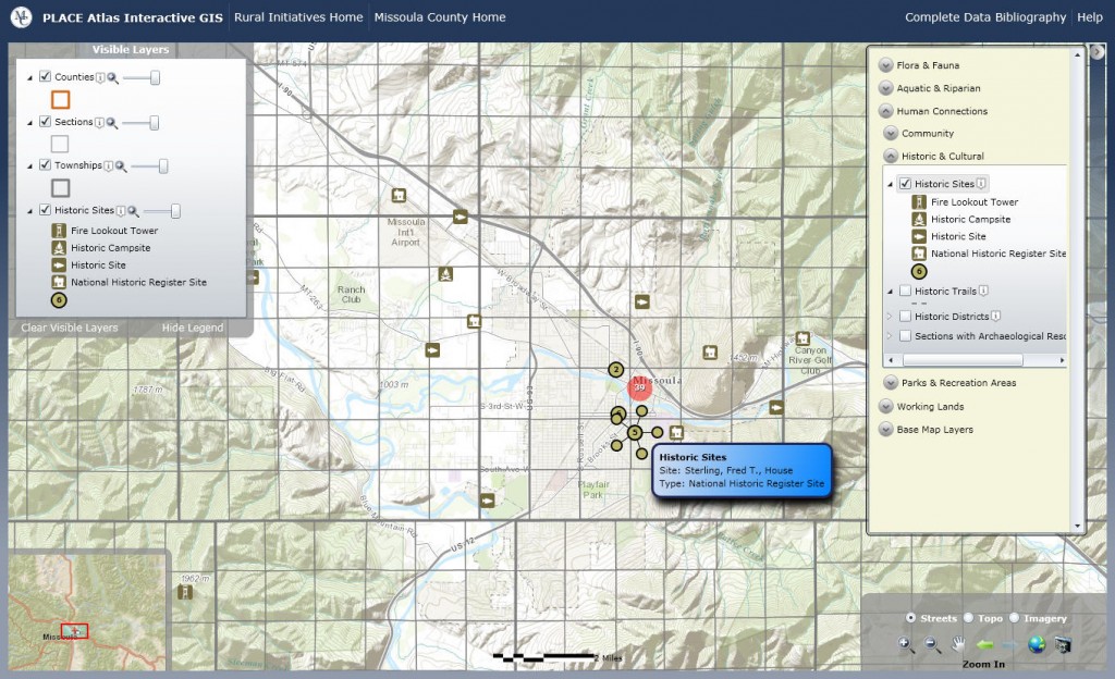
DTM Consulting worked closely with the Missoula County Community and Planning Services department to create an interactive, web-based atlas of critical GIS data sets. The resulting PLACE Atlas (Practical Landscape Assessment for Conservation and Enhancement) presents key conservation and resource information to assist residents and planners to make educated land-use decisions.
DTM relied on the ESRI Silverlight API for ArcGIS to deliver over forty individual data layers. Custom symbology, data interactions, and layout were coded within Microsoft Visual Studio and then deployed on a public-facing web server. Missoula County is serving the majority of the spatial data using ESRI ArcGIS Server 9.3. Additional data are drawn from the State of Montana State Library.
Details on the PLACE Project are available from Missoula County Community and Planning Services.